Sydney’s GreenWay: What You Need to Know


Sydney’s GreenWay: Your Inner West’s New Car-Free Playground
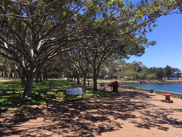
Picture this: instead of corralling the family into the car for another outing, you step out the front door, grab the scooters or bikes, and cruise along a lush, completely car-free corridor that weaves from Cooks River to Iron Cove. Along the way – playgrounds, murals, shady rest stops, and, because this is the Inner West, a smattering of cafés for those essential flat whites.

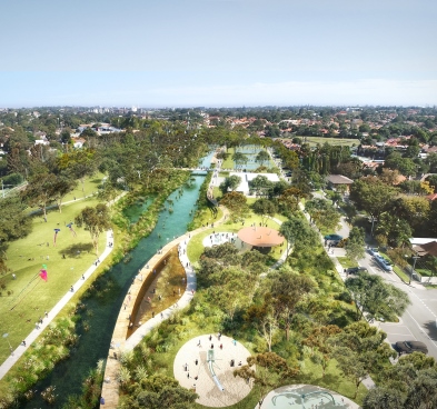
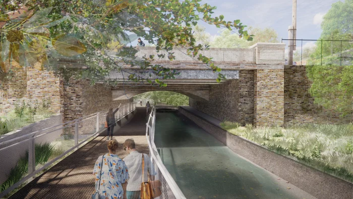
That’s the Sydney GreenWay, a much-awaited 6 km linear park and transport hub currently under construction. When it opens in full in 2025, it promises to revolutionise how families move, play, and connect across the Inner West.
What’s the GreenWay, Anyway?
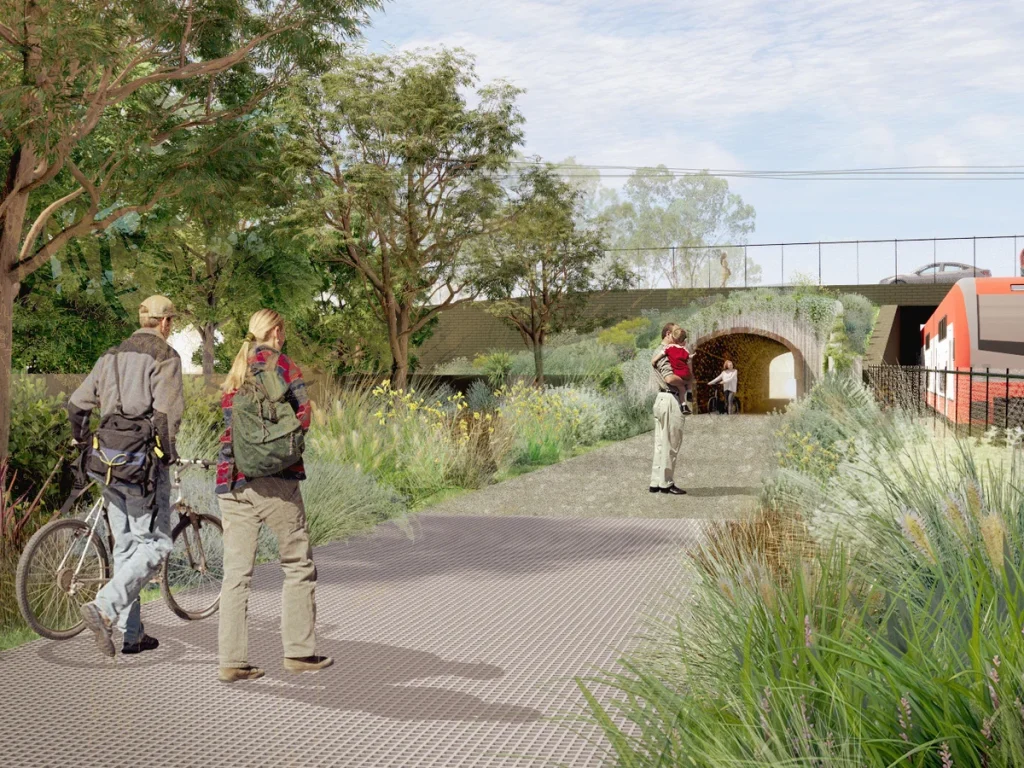
At its heart, the GreenWay is a car-free corridor designed for walking, cycling, scooting, and pram-pushing. Stretching from the Cooks River in Earlwood, through Dulwich Hill, Summer Hill, Lewisham, Leichhardt, and finishing at Iron Cove’s Bay Run, it effectively links the Cooks River Path and Bay Run – two local favourites – in one glorious, uninterrupted stretch.
The route largely follows the Inner West Light Rail line and includes underpasses and tunnels beneath major roads, ensuring a seamless ride (or stroll). Construction is already about 80% complete, with the full corridor expected to open later in 2025.
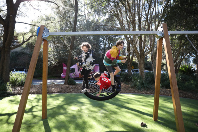
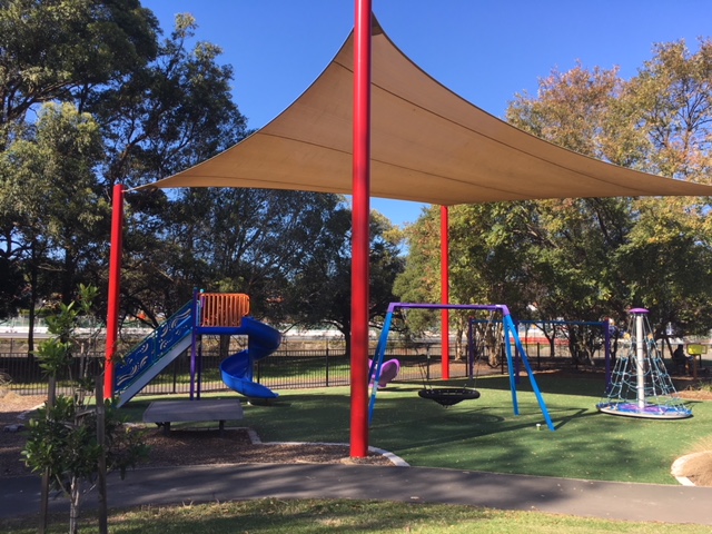
Why Families Are Going to Love It
- Car-Free & Stress-Free – A safe, traffic-free corridor where little ones can wobble on training wheels or zoom along on scooters without cars whooshing by.
- Effortless Exercise – A walk or scoot after school or on the weekend can become part of your daily rhythm without a gym membership.
- Neighbourhood Connectivity – Schools, playgrounds, cafés, and parks all linked. That Summer Hill café + playground pit stop? Now just part of your route.
- Green Reconnect – Expect native gardens, shady plantings, and even wildlife buzzing around – perfect for little nature lovers.
What You’ll Find Along The Way
The GreenWay isn’t just concrete – it’s a mini urban adventure:
- Playgrounds at strategic intervals, offering toddler bribery or teen hangout zones.
- Public art and heritage markers, turning every walk into a mini cultural tour.
- Cafés & local amenities – Dulwich Hill village, Summer Hill, Leichhardt’s Norton Street are all within easy reach.
- Light rail, bus, and train links, ready to rescue you if someone’s legs tap out mid-ride.
GreenWay Adventures: Route Ideas for Families
Once sections open, here are a few family-friendly itineraries to try:
- The Mini Loop (1–2 km): Start at Croydon, scoot to Summer Hill, enjoy a playground stop and coffee, then light rail or stroll back.
- The Half-Day Escape (3–4 km): Cycle from Lewisham to Leichhardt for a relaxed picnic leg-stretch break.
- The Full Day Out (6 km): Power through from Cooks River to Iron Cove with older kids. Cap it off with gelato in Leichhardt or fish and chips in Haberfield.
Want to know more about the precincts? The GreenWay has been divided into six precincts, which are defined by major road crossings:
- Hawthorne Canal Precinct: From Iron Cove to south of Marion Street, including the parklands around Hawthorne Canal including Richard Murden Reserve, Hawthorne Reserve and Blackmore Oval.
- Gadigal Reserve Precinct: From south of Marion Street to south of Longport Street, Including Gadigal Reserve itself as well as the section between Parramatta Road and Marion Street (including the distinctive avenue of figs).
- Mills Precinct: From south of Longport Street to Weston Street, including the area around the Lewisham West light rail station and the stretch along Weston Street.
- Dulwich Hill Parks PrecinctFrom Weston Street to south of New Canterbury Road, including Hoskins Park and Johnson Park immediately adjacent to the GreenWay corridor, and Arlington and Laxton Reserves nearby. Also including the deeply cut rail corridor between Constitution Road and New Canterbury Road.
- Dulwich Grove PrecinctFrom south of New Canterbury Road to north of Ewart Street, including the new linear park proposed in the light rail corridor east of Hercules Street and the existing Jack Shanahan Reserve.
- Cooks River PrecinctFrom north of Ewart Street to the Cooks River, including links on-road, past the golf course and across the Cooks River.
How to Be Part of It
Want more than just a route? Here’s how families can get involved:
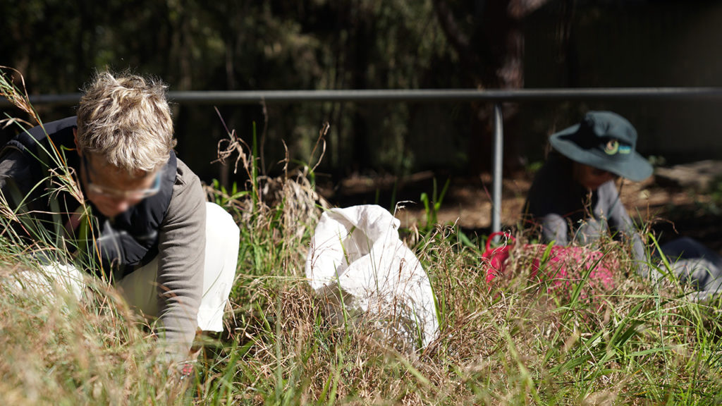
- Volunteer with local bushcare programs along the corridor.
- Join community consultations to influence features and artwork.
- Stay informed via the Inner West Council’s GreenWay updates or sign up to the digital newsletter.
About Author
Related posts:

